Mild temperatures and a pair of upcoming rain chances for NJ
Thursday will be a pleasant weather day, with breaks of sunshine and high temperatures near 50 degrees.
Here are your weather headlines for Thursday, January 19, 2017...
Pleasant Thursday
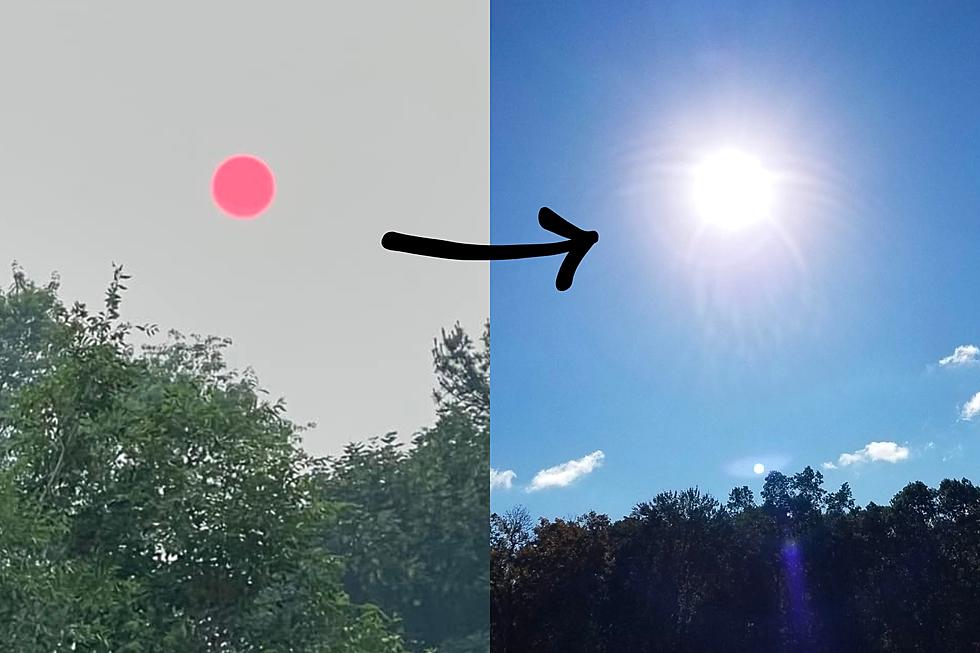
After Wednesday's prolonged dreary and grey weather, I think we deserve a nice day! And Mother Nature will deliver on Thursday, with clouds already breaking apart by early morning.
There's still a bit of fog around Thursday morning - I've seen visibility down to about a mile in spots. Certainly better than Wednesday. And this fog should burn off by mid-morning.
Breaks of sunshine are expected through midday Thursday, helping high temperatures bump to around 50 degrees. The more sunshine you see, the warmer those temperatures will go!
Cloudy, Wet Friday
Clouds will return to the skies over Garden State as early as Thursday evening. Even with the blanket of clouds, Friday morning will be chilly, with low temperatures in the lower to mid 30s.
So cloudy skies will be back on Friday, limiting high temperatures to the mid 40s. That's still above seasonal normals for mid-to-late January.
We'll also see a storm system lift through New Jersey on Friday. Best sense of timing puts raindrops over the Garden State between Friday early afternoon and late evening (about 1 p.m. to 10 p.m.) So it'll be a quick hit of rain, which could be heavy for a brief time. This storm system won't be a big deal - it is only inconvenient because of the timing, coinciding with Friday evening's commute.
OK Saturday
Saturday looks mostly dry, with just a few sprinkles in the forecast. Skies will be mostly cloudy. The real gem of Saturday's forecast is the temperature, which should reach the lower to mid 50s statewide. Not quite a record, but it certainly won't be feeling like typical January weather.
The Next Big Storm System
For several days now, we've been tracking a sizable storm system for early next week. It's a nor'easter - named for its storm track paralleling the Atlantic coast, which generally produces strong "nor'east" (northeast) winds. Forecast models are now coming into agreement regarding timing and impacts. And there's a preponderance of evidence to suggest those impacts will be wet and not wintry.
Most models put first raindrops over New Jersey around Sunday evening. (The Euro model stands alone with an earlier timeline, with rain beginning around midday.) Periods of steady, heavy rain are expected Sunday night. And Monday. And Monday night. And for at least part of Tuesday. That's a 36 to 48 hour period of healthy rainfall. If the current forecast holds, all of New Jersey would see at least 1 and up to 3 inches of rain. Meanwhile, winds may gust above 40 mph during the peak of the storm from Sunday night through Monday. With such strong on-shore winds, coastal flooding and erosion may become a problem - we'll be watching.
It's also worth noting that confidence is high regarding above-freezing temperatures producing rain and not snow. Forecast high temperatures will remain near 50 degrees through the middle of next week. But, we're still going to monitor the situation carefully - if there's any inkling whatsoever that temperatures could drop far enough to produce wintry weather, we'll let you know. That chance, of course, would be highest for North Jersey, which is almost always the coolest spot in the state. Again, right now, our forecast calls for rain only.
More From 94.3 The Point


