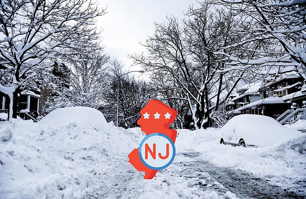
Monmouth-Ocean Could Get 10+ Inches of Snow this Weekend
There were two things going through my mind on New Year's Day when it was 65 degrees. First, this is awesome! Second, we're totally getting nailed the rest of the winter.
Not to jinx folks that aren't fans of the white stuff, we've been pretty lucky weather-wise late Fall into early Winter. No major snow, and pretty warm temperatures. Well, that's about to change.
Meteorologist Dan Zarrow says much colder weather is on the way. Plus, if everything times out correctly, we could see some major snow this weekend into Monday.
In Dan's weather blog which you can read in its entirety, here, there are several factors at play:
The target time frame would be Saturday evening through Sunday, possibly lingering into Monday morning. This one is going to be an epic battle between 1.) the big mass of cold, dry, stable air and 2.) a strong coastal low pressure.
With over 4 days to go until first flakes, this remains a volatile "coin flip" forecast. Our two main long-range models paint the two very different scenarios perfectly:
--The European model continues to show the cold air winning out, keeping the storm system both weaker and well southeast of us. New Jersey could see up to an inch or two of snow accumulation given this storm track. That's it.
--The GFS model continues to show the storm system vanquishing the cold air mass, with New Jersey firmly ending up in the heaviest precipitation bands and the coldest sector of the storm. The morning run is pretty close to a worst-case scenario, as we get buried by widespread double-digit snowfall possible. That's a lot.
So which solution do I prefer at this time, getting buried or getting spared? Eh, flip a coin. Seriously, with over 4 days to go until first flakes, this remains a highly volatile forecast. I just do not have enough evidence (in the form of model consensus) to make a confident call one way or the other. That should not be a surprise in the wintertime — it is excessively rare that anyone can make an accurate snowfall forecast more than 48 to 72 hours beforehand.
Having said that, I have read rumors that the GFS software in particular is suffering a cascade of issues caused largely by the partial government shutdown. Fewer data points due to limited weather balloon launches. Lower quality forecasts due to lack of staff to calibrate, adjust, and verify the model output. If true, that's an awful and potentially catastrophic situation — it's almost like we're flying blind with the weather forecast.
Does that mean I'm leaning toward the calmer, less snowy Euro scenario? Meh, only slightly. All options remain on the table right now.
If the forecast does lean toward a snowy situation for the weekend (or not), we'll start adding details on timing and potential totals around Thursday morning. Not before.
Until then, I'll just say we're expecting 0 to 18 inches of snow in New Jersey from Saturday night to Sunday. That will get the trolls riled up! (In other words, stay tuned!)
As Dan mentions, we are too far out and there are a lot of "ifs" in play, but it's something we'll be keeping an eye on.
More From 94.3 The Point