Weather should not interfere with Monday’s solar eclipse viewing in NJ
But will the eclipse interfere with New Jersey's weather?
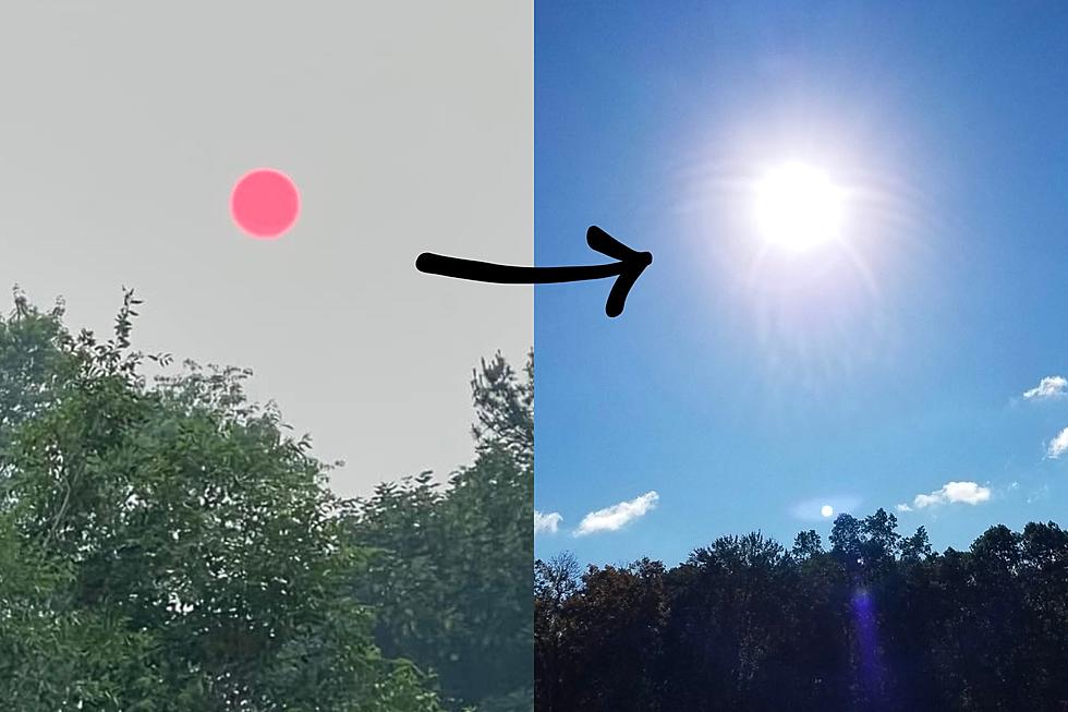
I'm pleased to report that there should be sufficient breaks in the cloud cover across New Jersey to view Monday afternoon's solar eclipse. The show will start around 1:20 p.m., peak around 2:45 p.m., and end about 4:00 p.m. The moon will obscure about 70 to 80 percent of the sun. So don't expect total darkness. However, this epic cosmic event will certainly be noticeable and memorable. Science in action!
I'm actually even more optimistic about the cloud cover forecast in this forecast, ranging from mostly to partly sunny throughout Monday. We're coming off a beautiful summery weekend, and the warm weather continues for the start of the new workweek. Monday afternoon's high temperatures are modeled to reach the mid to upper 80s, with a few 90s possible too.
However... The solar eclipse will almost certainly cause temperatures to dip slightly over the course of the afternoon, probably on the order of 3 to 4 degrees. In the grand scheme of things, that's not much. However, the timing of the eclipse will occur right around the timing of our daily high temperature. Could we miss 90 degrees as a directly result of the eclipse? Could my temperature forecast bust solely due to the eclipse? Yes! And that is neat.
As a weak impulse pushes against New Jersey Monday evening, a few showers may pop across the Delaware River. Best chance for raindrops will be the western and southern portions of the state. Rainfall will be light, scattered, and mostly insignificant.
Otherwise, the overnight will be partly cloudy with patches of fog (especially if and where it rains). Low temperatures will only fall into the lower 70s.
Tuesday will be the epitome of summertime in New Jersey: Hot and humid. With a mix of sun and clouds, and a stiff southwesterly breeze, high temperatures will climb to around 90 degrees away from the ocean. (I could see a couple of 92's and 93's on thermometers for Tuesday afternoon.)
Our attention will then turn to a cold front that will sweep through the Garden State early Wednesday morning. A broken line of showers and thunderstorms is expected to pass across the state. However, the most recent forecast models suggest this rainfall will fizzle before it reaches the south coast. So once again, don't expect much from this round of wet weather.
Then Wednesday will become partly sunny, cooler, and dramatically less humid. No more 90s — highs on Wednesdsay will peak in the lower to mid 80s.
Thursday looks even cooler, with high temperatures close to 80 degrees. Sunshine should win the sky. However, the NAM model shows an interesting possibility: If Wednesday's front stalls just south of New Jersey, and if a burst of atmospheric energy rides along that front, then we could see some rain along the Jersey Shore Thursday morning. That's a lot of ifs — we'll see how things play out, but I'd lean toward a dry forecast for now.
It looks below-normal temperatures will be the story for Friday and beyond. Forecast highs are in the upper 70s to lower 80s for the end of the workweek, driven by northerly winds. Sunshine and dry weather will make the cooler weather quite pleasant.
As we enter the peak of the Atlantic hurricane season, the tropics are firing up. There are now three tropical waves pushing across the ocean. No immediate threat to New Jersey.
Dan Zarrow is Chief Meteorologist for Townsquare Media New Jersey. Follow him on Facebook or Twitter for the latest forecast and realtime weather updates.
More from New Jersey 101.5:
More From 94.3 The Point


