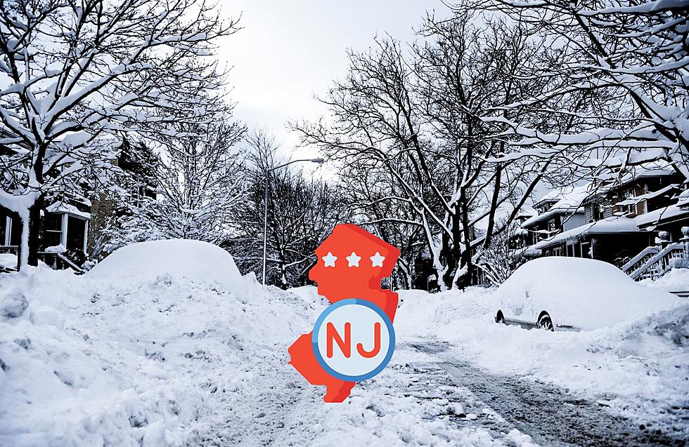
What Does a ‘Blizzard Warning’ Mean?
Meteorologist Dan Zarrow has tweaked his forecast for Tuesday's storm, and is now predicting less snow and more mixing for the immediate coast, but these areas are still under a blizzard warning.
Some listeners asked why the blizzard warning if some areas won't see that much snow, and there's an easy answer!
The National Weather Service issues a Blizzard Warning when a "blizzard event is imminent or expected in the next 12 to 36 hours."
So what is a blizzard event?
The term blizzard has less to do with the amount of snow, and more to do with the wind that comes with it:
"Sustained wind or frequent gusts greater than or equal to 35 mph will accompany falling and/or blowing snow to frequently reduce visibility to less than 1/4 mile for three or more hours."
So, winds of 35+ mph for three or more hours combined with ANY amount of snow = blizzard.
Those conditions are expected throughout Monmouth and Ocean Counties on Tuesday, therefore, Blizzard Warning!
Even with only 3" or 6" of snow, gusty winds can reduce visibility to near zero, so you are encouraged to stay home and off the roads on Tuesday if possible.
The Blizzard Warning is in effect for Monmouth and Ocean Counties from 8 p.m. today (Monday) through 6 p.m. Tuesday.
Get Meteorologist Dan Zarrow's latest weather blog HERE!
More From 94.3 The Point