
NJ weather: Breaks of sun Monday, with gusty showers possible
Coming off a damp and dreary weekend, New Jersey's weather forecast still looks rather unsettled for the week ahead. I could give you a prediction of 50s and cloudy with showers for just about every day coming up. But there will be no washout days this week. And I have made it my mission to accentuate the positive, seeking out pockets of reasonably pleasant weather when we can all catch a breath of fresh air.
We're waking up on this Monday morning to some patchy fog and low clouds across New Jersey, with temperatures predominantly in the upper 40s. I'm pretty confident we'll see breaks of sunshine and blue sky by late morning through the midday hours — at the very least, skies will be much brighter than over the weekend.
With a warm front meandering just south of New Jersey, we will taste some warmer air Monday afternoon. High temperatures will range from the lower 50s in North Jersey to the mid 60s (at least) in South Jersey. Generally, above normal for late March. So generally pleasant.
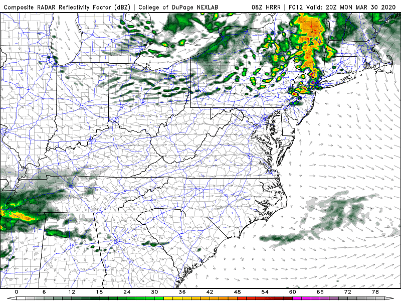
The one thing to watch out for is a batch of showers starting up around Monday mid-afternoon (2-3 p.m.) and lasting through Monday early evening (6-7 p.m.), thanks to a storm system swirling to our north. These showers will be brief, but capable of producing a quick burst of wind (40+ mph gusts), a heavy downpour, and perhaps even some small hail. (I'm not calling them "thunderstorms" because I'm not sure the atmosphere will be charged enough to produce thunder and lightning.)
We'll maintain clouds and sprinkles Monday night, with some light fog possible too. Low temps fall into the lower 40s.
Tuesday doesn't look great, as a weak backdoor front puts cool and damp marine air in the foreground. Mostly cloudy to overcast skies will accompany a chance for an isolated rain shower at some point. High temperatures will struggle to reach the 50-degree mark, as we swing back to the below-normal side of the thermometer.
Very similar conditions for Wednesday, as a storm system passes just south of the Garden State. It will be close enough to keep cloud cover over all of New Jersey. And we'll likely face scattered rain showers and drizzle in southern New Jersey. (Just how far north will those raindrops reach? Not sure yet.)
Thursday could very well be our weather winner of the week. I'm being semi-optimistic favoring mostly sunny skies, with a breeze out of the northwest at 10 to 20 mph. Even though that is a cooling, drying wind, the clearer sky will allow temps to climb into the mid 50s. Sounds good to me!
The forecast gets muddy at the end of the week. But both the GFS and Euro models show a return of clouds and scattered showers on Friday. At least high temperatures will still pop to about 60 degrees.
Next weekend will be drier and brighter than last weekend. At the moment, Saturday looks like the warmer day (lower-mid 50s) and Sunday is forecast to be cloudier and damper, with showers.
More From 94.3 The Point


