Snow Could Make Wednesday Commute Difficult
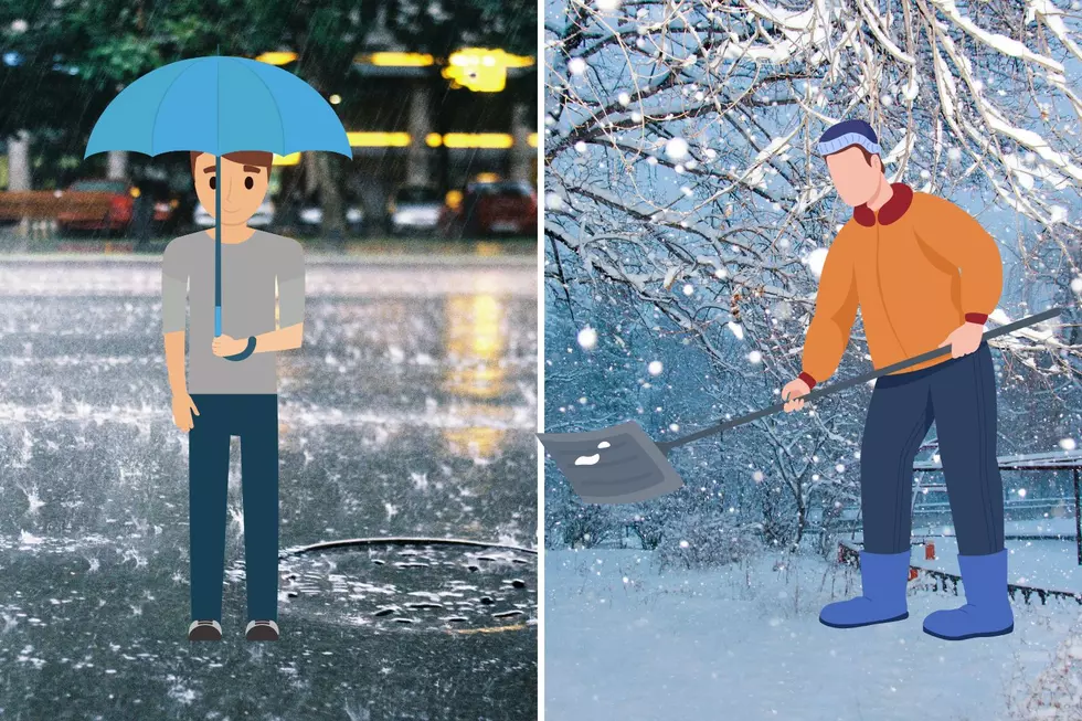
Luckily, we saw rain yesterday while North Jersey was an icy mess. But a mid-week storm could make the Jersey Shore wintery.
Meteorologist Dan Zarrow says:
On Wednesday, a clipper storm system will push into New Jersey from the west. As it does, we’ll add a chance for snow and/or rain across the state pretty much all day. Because the precipitation type will be so sensitive to temperature, it’s impossible to say exactly where the rain/snow line will end up at this point. Additionally, dry air has been present for most of January so far, and that would serve to counteract any precipitation this storm system tries to throw at us. This won’t be a “major” winter storm, but could still have some wintry impacts for New Jersey. Here’s how Wednesday could play out:
Low Scenario: Temperatures will hover in the mid 30s for most of the day, so the vast majority of the precipitation would be rain. Since the precipitation would also be light, hardly any accumulation would occur.
High Scenario: The storm system moves in on Wednesday morning, with colder temperatures, and the dry air ultimately doesn’t come into play. Snow totals of 1 to 4 inches would be possible, especially across the central and southern parts of New Jersey.
Most Likely Scenario: Somewhere in the middle… Snow in North Jersey, rain in South Jersey. Maybe an inch or two of accumulation where the snow hangs on the longest.
More From 94.3 The Point


