Tuesday NJ weather: Lots of clouds, some drizzle, brighter days ahead
The Bottom Line
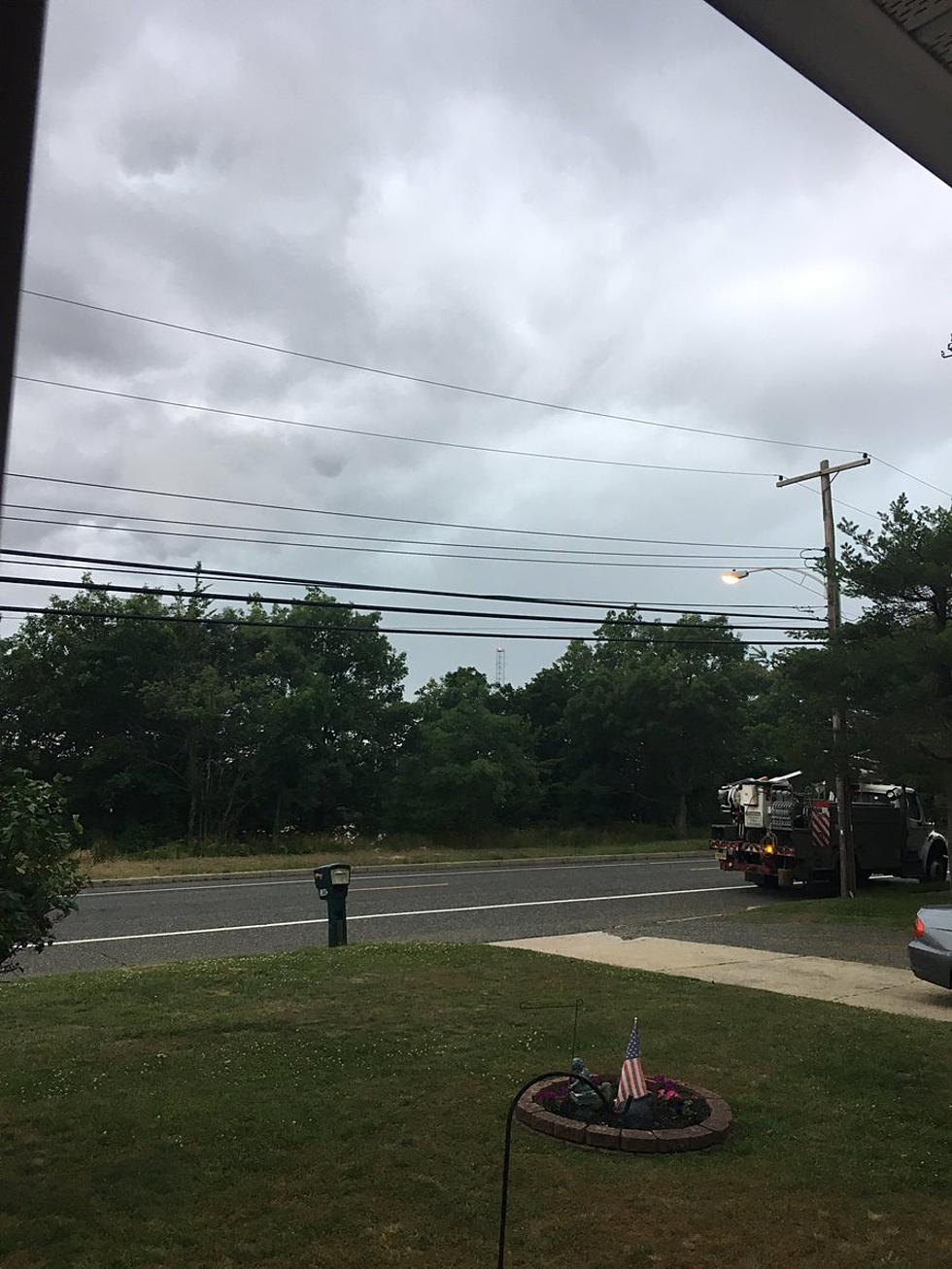
Thanks to a backdoor cold front, we find ourselves in a pretty "blah" slice of the atmosphere. Early morning thunderstorms will give way to clouds and cooler temperatures Tuesday, with additional drizzly showers possible later on.
We'll see substantial improvements on Wednesday, through the rest of the workweek. A coastal storm system could cause some rain and coastal issues as we head into the upcoming Columbus Day holiday weekend.
Tuesday
Were you woken up by the noisy thunderstorms that rolled through central and southern New Jersey overnight? Even the part of the state that stayed completely dry got soaked.
As of this writing (6 a.m.), rain continues to stream through the state. There are some pockets of heavy rain. Nothing overly concerning, since the storms are moving and not training (re-forming over and over again in the same spot). Just watch for big puddles, wet roads, and reduced visibility.
By 8 or 9 a.m., the rain will have cleared the coast. Also by that time, our backdoor cold front will have cleared NJ's southern border. That means we tap into some cooler, drier air Tuesday. (In fact, I've had to lower temperature expectations by a couple of degrees.)
Highs will only reach about 65 to 70 degrees Tuesday afternoon. That is a full 5 to 15 degrees cooler than Monday. And slightly below normal for early October.
Skies will be mostly cloudy to overcast from mid-morning through early afternoon. A resurgence of drizzly showers may pop up again starting sometime in the afternoon. Any such raindrops would be very light, and limited to the southern half of the state (south of Interstate 195).
The sprinkle chance will continue for South Jersey Tuesday night. Otherwise, no matter where you are, skies will stay mostly cloudy. Low temperatures will dip to around 60 degrees.
Wednesday
Much brighter and better. Aside from a pre-dawn spritz, Wednesday will be dry. And skies will progress from clouds to sun (eventually). Temperatures will be seasonable, typical for this time of year. Look for highs around 70 degrees, give or take. Not a bad day, at all.
Thursday
Even more pleasant. I'll optimistically call it "partly sunny," with a very light westerly flow driving a slight warmup. Highs Thursday afternoon should push into the mid 70s.
Friday
Clouds will increase, but I'll keep a dry forecast for now. Even though the wind will eventually flip to an on-shore direction, highs will hold steady in the mid 70s.
The Weekend & Beyond
The big trouble for the weekend will be an area of low pressure parked just off our coastline. Although the center of that coastal storm system will steer away from New Jersey, the easterly wind will keep skies cloudy and temperatures at/below normal. We could see some showers and sprinkles too, especially throughout Saturday.
Surge-driven coastal flooding and swell-driven rough surf could also become an issue. Just something to watch for now - we'll push out details as tide models come into resolution in the next day or two.
Dan Zarrow is Chief Meteorologist for Townsquare Media New Jersey. Follow him on Facebook or Twitter for the latest forecast and realtime weather updates.
8 ways to battle the spotted lanternfly in NJ
Gallery Credit: Kylie Moore
Look inside The Avenue at American Dream
More From 94.3 The Point


![Blake Shelton and Ariana Grande Go Head-to-Head Over ‘The Voice’ Standout, Libianca [Watch]](http://townsquare.media/site/204/files/2021/10/attachment-Team-Blake-libianca-the-voice-audition.jpg?w=980&q=75)


