NJ DEP and Army Corps of Engineers seek input for Back Bays Study
The New Jersey Department of Environmental Protection and Army Corps of Engineers want to hear from you as they put together an interim report for a Back Bays Study
Officials say that the interim report is a milestone in developing a comprehensive flood-mitigation strategy for the state's extensive back bay areas.
The Army Corps' New Jersey Back Bays Coastal Storm Risk Management interim report released is designed to inform decisions on strategies to protect communities and ecosystems through structural, non-structural and ecological solutions.
"New Jersey is particularly vulnerable to the impacts of sea-level rise caused by climate change," DEP Commissioner Catherine R. McCabe said. "The DEP and the Army Corps are committed to ongoing public dialogue on solutions needed to make our economically vital and environmentally fragile coastline more resilient."
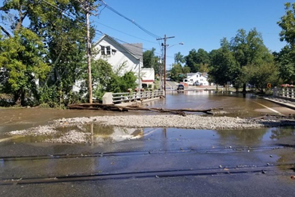
Their goal is to develop an integrated strategy to protect coastal communities against storm surge and flooding in a 950-square-mile area encompassing parts of the Jersey Shore communities of Atlantic, Burlington, Cape May, Monmouth and Ocean Counties.
This area is interlaced with some 3,400 miles of estuarine shorelines along bays, rivers, creeks, sounds and lagoons.
The interim report states that protecting New Jersey's estuarine areas presents unique challenges due to the state's "combination of low-lying topography, sea level change, densely populated residential and commercial areas, extensive low-lying infrastructure, and degraded coastal ecosystems."
It also provides locations where storm-surge barriers, flood walls or levees could be effective but notes that these structures would have visual impacts during and after construction and would be costly.
DEP officials also say that the relocation of structures, while causing temporary visual impacts, could have long-term ecosystem and storm-surge protection benefits.
There are ecosystem-based solutions outlined in the report as well such as marsh restoration, beach and dune restoration, and creation of living shorelines, which are areas planted with native plants and shellfish to provide natural flood buffers.
The DEP is currently monitoring several projects that restored salt marshes degraded by sea-level rise and subsidence and is working with municipalities and nonprofits to create living shorelines as alternatives to hard structures such as bulkheads.
Following Superstorm Sandy, the state put in place more rigorous elevation requirements for construction of new homes or reconstruction of storm-damaged homes in flood hazard areas.
The DEP has also implemented the nationally recognized Blue Acres acquisition program to move homeowners out of flood-prone areas.
The DEP is also facilitating the development of regional resiliency plans and is developing a comprehensive Coastal Resilience Plan to guide policies, regulations, resource allocation and funding to better protect coastal areas.
Since launching the back bays study in 2016, the DEP and the Army Corps have held public workshops and meetings that provided valuable insights in the development of the interim report.
The study is being equally cost-shared by the DEP and federal government and was developed out of the Army Corps' North Atlantic Coast Comprehensive Study, undertaken after Superstorm Sandy slammed the Mid-Atlantic and Northeast in October 2012.
Once the study is completed, the Army Corps will issue a decision document with a recommended plan.
After the plan is approved by Congress, design and construction will occur as funding is made available.
The public is invited to provide comments on the interim report by April 1.
Comments may be emailed to PDPA-NAP@usace.army.mil or in writing to the U.S. Army Corps of Engineers, Planning Division, 100 Penn Square East, Philadelphia, PA 19107.
More From The Jersey Shore:

More From 94.3 The Point