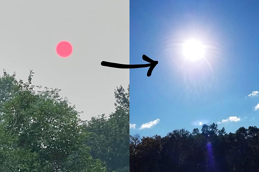
Sunny skies Thursday, Matthew stays away, rain this weekend
Hurricane Matthew seems to be a non-issue for New Jersey at this point, although we may tap into tropical moisture and pick up a brisk wind this weekend.
It's hard to be truly happy about Matthew's anticipated miss for New Jersey, while the Bahamas, Florida, Georgia, and South Carolina prepare to get slammed by an incredibly powerful hurricane. We've already seen some dramatic and heartbreaking photos and video from Haiti. And I fear there's more to come before Matthew's tale is done.
Back on the home front, we're beginning Thursday with some clouds over the southern half of New Jersey. Those clouds act as a "blanket," preventing temperatures from dropping too cool. So, while North Jersey will feel chilly jacket-inducing 40s Thursday morning, South Jersey is closer to 60 degrees. Some patchy fog may develop close to sunrise as well, particularly in the central and southern parts of the state.
The entire Garden State should clear to sunshine by Thursday afternoon. High temperatures are forecast to reach the lower to mid 70s, making for a beautiful early October day.
Skies stay clear and temperatures get rather chilly again Thursday night. Overnight lows will fall into the upper 40s to lower 50s.
Another nice day is expected Friday, with mostly sunny skies and highs again in the lower to mid 70s. Clouds will probably start to increase by Friday late afternoon, but I believe we'll stay dry through Friday night.
Again, for the weekend, Hurricane Matthew will stay away from New Jersey. But we may still feel Matthew's touch, in three different ways: moisture, wind, and surf.
As a cold front approaches on Saturday, thick clouds and light rain will dot the daytime hours. It looks like New Jersey's atmosphere will tap into some of Matthew's tropical moisture on Saturday, potentially enhancing the intensity and total of rainfall. (Yet again, the hurricane itself will stay far away from New Jersey.) Will it rain all day? Eh, I doubt it. But it may be pretty steady at times, especially if you believe the NAM model. Rainfall totals range from 0.1" to about 0.6" amongst the models - again, not incredibly heavy, but potentially steady.
By Sunday morning, skies will be quickly clearing to sunshine. Behind the front, we will taste cooler temperatures as highs decrease to the mid to upper 60s for Sunday afternoon. Additionally, our impending high pressure will clash with Matthew's extreme low pressure off the southeast coast. That will cause a brisk northerly wind to pick up Sunday, sustained at 15 to 25 mph, with possible gusts to 35 mph. That's not gusty enough to cause widespread damage, but it could feel a bit blustery.
We will have to watch the waves this weekend too, in case Hurricane Matthew spits some swell toward the Jersey Shore. Rough surf and coastal flooding concerns seem pretty minimal in NJ though. We should be protected by geography, with North Carolina and Virginia preventing any big waves from traveling further up the U.S. East Coast.
Columbus Day Monday will continue the sunny but cool weather, with below-normal high temperatures only in the mid 60s. Fall will definitely be in the air!
More From 94.3 The Point


