
Two more days of unseasonable warmth and rough surf for NJ
Enjoy the 80s while they last, as Mother Nature is about to flip the switch from "summer" to "fall".
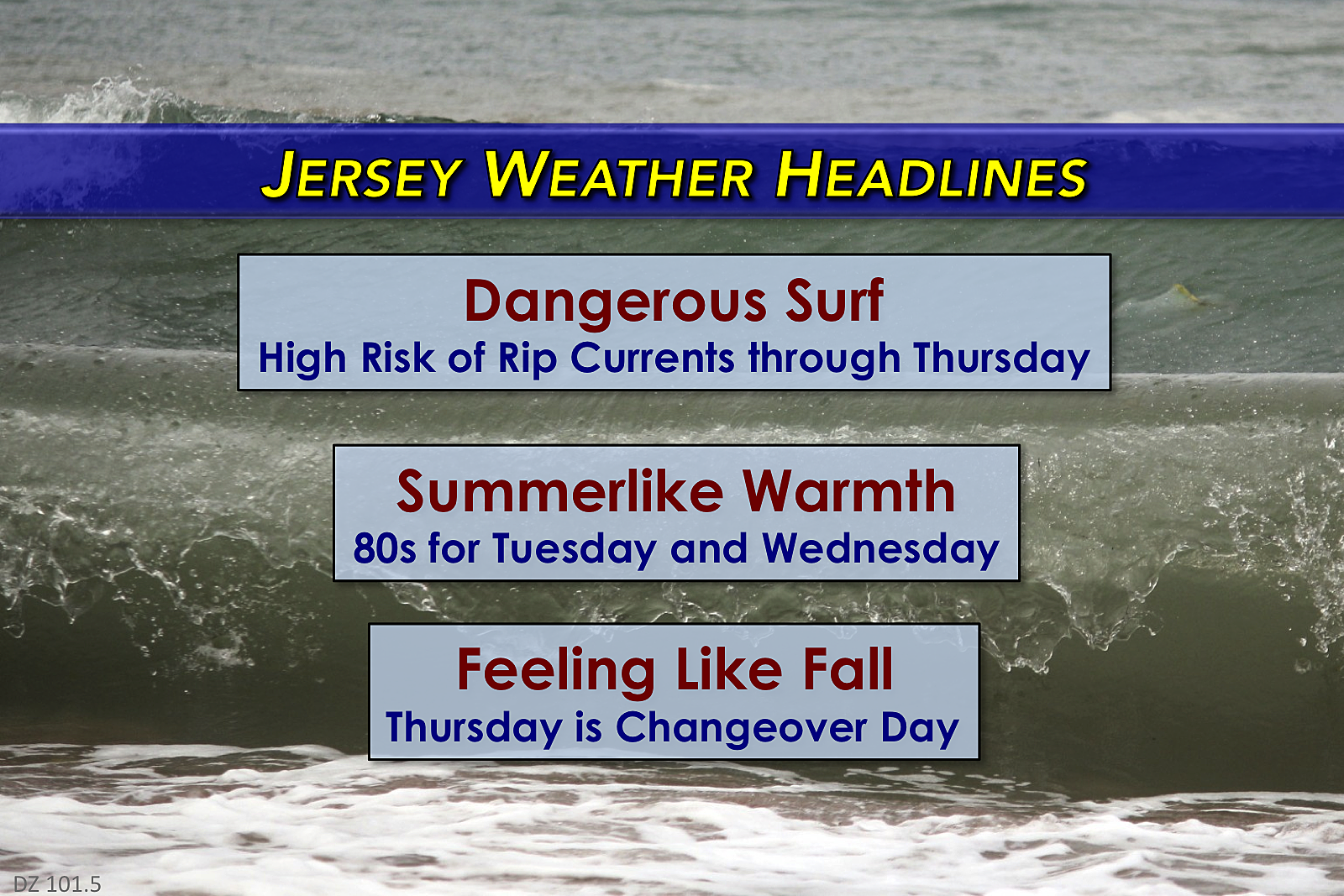
Here are your weather headlines for Tuesday, September 26, 2017...
Hurricane Maria

As of Tuesday morning, Maria is barely holding on to hurricane strength. Centered about 450 miles south-southeast of New Jersey, Maria is a minimal category one hurricane, with 75 mph sustained winds.
No change to the forecast, as the storm brushes past the Outer Banks of North Carolina before rapidly exiting to the east. Minimal weather impacts are expected for New Jersey. However, the ocean remains ferocious and the risk for dangerous rip currents will remain very high through at least Thursday.
Summer Weather

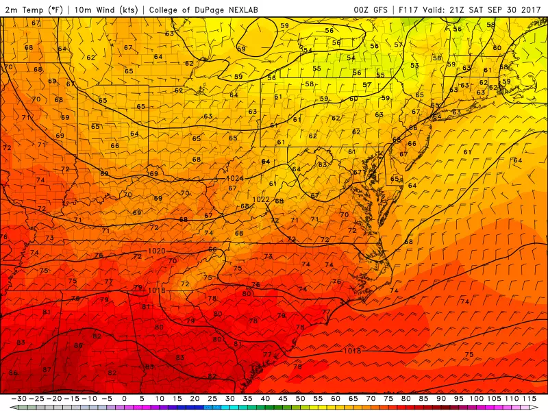
After a pair of near-record days in the 90s, the unseasonable warmth will continue across the Garden State on Tuesday. However, with the introduction of some clouds on the outer edge of Maria, I think we'll miss the 90 degree mark. Inland New Jersey should climb to about 85 degrees on Tuesday. The Jersey Shore will end up closer to 75 degrees. That's about 15 degrees above normal for late September.
We'll enjoy one more day of widespread 80s on Wednesday. (Cooler at the Jersey Shore, of course.) My forecast calls for sunshine, mixing with clouds — I suspect the sun will actually win the sky for most of the day. Having said that, I'm also including a slight shower chance in the forecast, just in case the outer rain band of Maria wiggles this far north. Model consensus shows a dry forecast — barely — but I want to cover myself, as the raindrops will be nearby.
Autumn Weather
A cold front will pass through New Jersey late Wednesday into early Thursday. This frontal passage will be dry, but the weather impacts will be significant.
First of all, we can thank this front for pushing Maria rapidly out to sea. The ocean should begin to calm by late Thursday, as Maria's distance from the Jersey Shore continues to increase.
Furthermore, behind the front, a brisk northwest wind will gust over 30 mph. That wind will carry much cooler and drier air into New Jersey. Even though we should see plenty of sunshine on Thursday, thermometers will struggle to make it past the mid to upper 70s through the afternoon hours.
By Friday, it's going to feel like Fall around here. High temperatures will be in the seasonable lower 70s, amidst a sunny Autumn sky.
A secondary cold front will push through the Garden State late Friday into Saturday. We could see a few rain showers from that front, mainly during the overnight hours.
And then it's really going to feel like Fall across New Jersey. High temperatures will get stuck in the 60s for almost the entire state on Saturday and Sunday. Get the long pants ready!
No significant rainfall and no frost/freeze concerns are expected for the next 7 days.
Dan Zarrow is Chief Meteorologist for Townsquare Media New Jersey. Follow him on Facebook or Twitter for the latest forecast and realtime weather updates.
More From 94.3 The Point


