Controversial New Maps Claim to Define New Jersey
We've all seen the north, central, south Jersey maps, even the pork roll vs. Taylor ham maps floating around, but this latest collection takes dividing the Garden State to new extremes.
These six maps of New Jersey originated on Reddit, but have become viral over the past 24 hours. One harmless map divides the state based on how you tell someone where you live by like the Turnpike or Parkway for example.
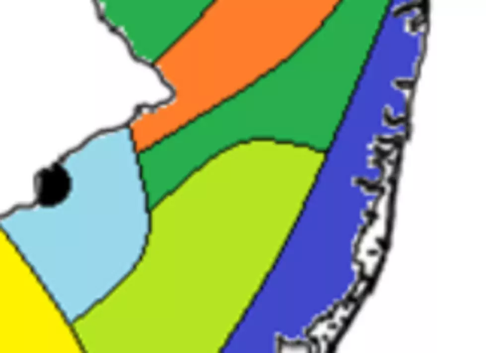
The map that has people talking is this one.
Monmouth and Ocean counties fair pretty well being considered "The Shore," "Farmlands," and "Pineys."
However, look at some of the other areas of the state. "Armpit of NJ," "Hill People," and "Basically Alabama." Atlantic City is dubbed "Knock-off Vegas."
Are these maps accurate? Let me know in the comment section.
More from 94.3 The Point!
More From 94.3 The Point


