More wet weather for NJ all day Tuesday – much cooler, less stormy
Well, Monday's weather did not underperform. An intense line of thunderstorms caused destructive 70+ mph winds, flash flooding, and general havoc Monday evening. Here's a recap I shared on Facebook, by the numbers:
I'll add one number to those details — about a quarter-million New Jerseyans are still without power on this Tuesday morning.
The cold front that spawned Monday's thunderstorms has stalled just south of New Jersey. That will keep wet weather on top of the Garden State for the next 24 hours or so. (But hey, at least the extreme heat wave is over!)
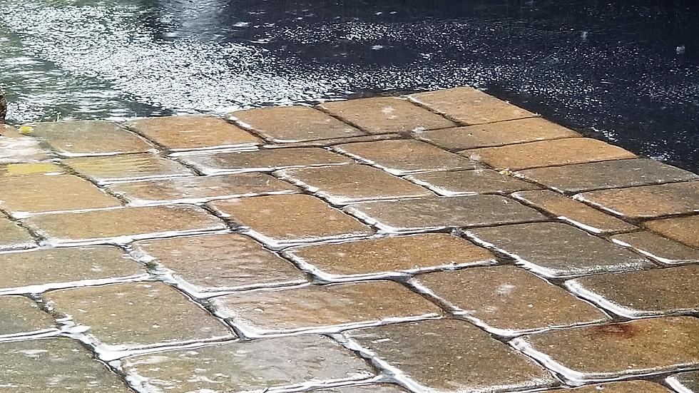
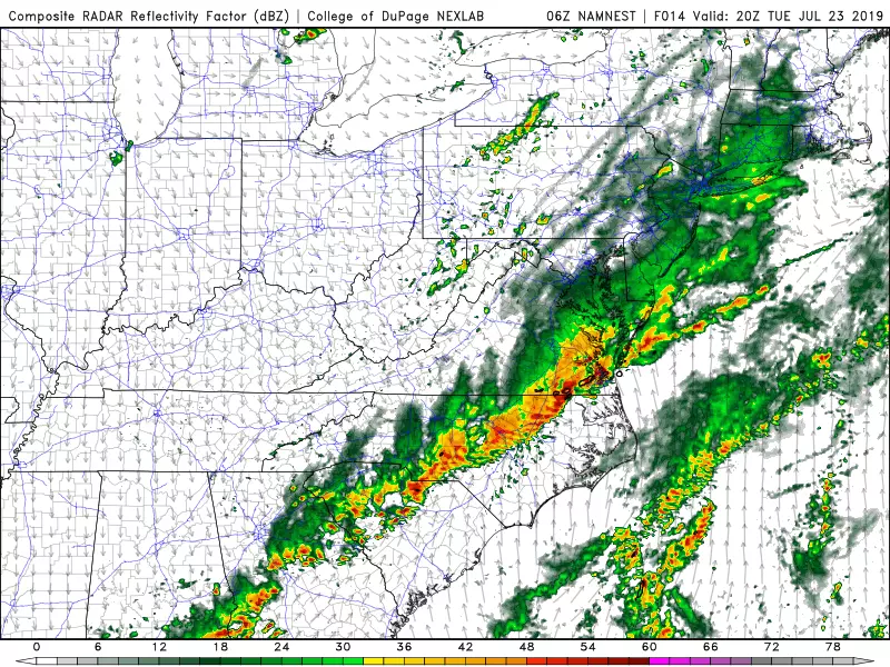
So yes, Tuesday is going to be a pretty wet and miserable day. It looks like truly heavy rain will be limited to the Tuesday early morning hours. (As of this writing (5 a.m.), the final band of heavy rain is beginning its charge through the state, exiting around 8 a.m.) Then, periods of light to moderate rain will keep the afternoon and evening hours damp.
A Flash Flood Watch continues until 8 a.m. for most of the state, to cover that final band of heavy stuff. Northeastern NJ (Bergen, Essex, Hudson, Passaic, and Union counties) fall under a Flash Flood Watch until Noon. The ground is quite saturated, and water levels are still running high. With another inch or two of rain potentially falling somewhere in the stage, we'll have to be on the lookout for a few spots of flooding or ponding will be possible later on. However, it should not be as dramatic or as widespread as Monday night.
Temperatures will either hold steady or slowly decrease Tuesday. Forecast highs are generally in the lower 70s, although I would not be surprised to see much of New Jersey stuck in the 60s Tuesday afternoon. Dew points and humidity will slowly decline as well. What a difference from our extreme heat wave of the past four days!
After about 10 p.m. Tuesday evening, our rain should become more scattered (more spread apart). Final raindrops are expected around 8 a.m. Wednesday morning, give or take. Overnight low temperatures will dip into the mid 60s — our coolest night in about a week.
By Wednesday afternoon, partial clearing will lend to a nicer weather day. High temperatures will end up just below-normal for late July, around 80 degrees.
And then New Jersey begins a stretch of pleasant, dry, summery weather!
Thursday will be sunny, with seasonable high temperatures in the lower to mid 80s.
More blue skies and sunshine are expected Friday. Our forecast calls for slightly warmer temperatures in the mid to upper 80s.
Thermometers might flirt with 90 degrees for Saturday and Sunday. Certainly very warm, but humidity levels will be manageable.
The mainly dry forecast looks to continue through the rest of July — our next widespread rain chance is progged for next Wednesday night.
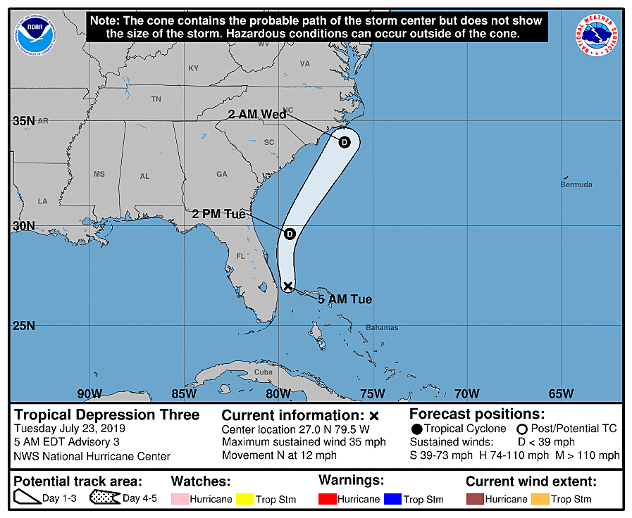
One more note. Newly-formed Tropical Depression 3 is centered just off the coast of Ft. Lauderdale, Florida. It will slide up the coast toward the Carolinas. It is not expected to strengthen into a tropical storm — however, it will produce some very heavy rainfall along the coast.
Will T.D. 3 be a threat for New Jersey? Nope! Our passing front is quite fortuitous, as it will help to push newly-formed Tropical Depression 3 out to sea before it reaches the Jersey Shore. Having said that, the tropical moisture could enhance our rain ever-so-slightly on Tuesday. In addition, the Atlantic Ocean might be a little rough this week, with a tropical system in the basin.
Dan Zarrow is Chief Meteorologist for Townsquare Media New Jersey. Follow him on Facebook or Twitter for the latest forecast and realtime weather updates.
More From 94.3 The Point


