NJ weather: One more humid, warm day, with more super soaker storms
The Bottom Line
Tuesday was a pretty straightforward weather day. The atmosphere was a saturated sponge, with a ridiculous amount of moisture/humidity in the air. All we needed was a little spark - atmospheric lift - to cause super soaker thunderstorms. Localized pockets of NJ saw upwards of 2 or 3 inches of rainfall in a very short time on Tuesday from those storms. Impressive!
We'll do it one more time on Wednesday. Steamy and stormy will be the themes of the day. It will be our 5th day in a row with 90+ degree temperatures somewhere in New Jersey. Drenching thunderstorms expected in the afternoon and evening.
Thursday will turn at least 10 degrees cooler. More importantly, humidity will (eventually) fall away, leading to much more comfortable conditions. While Thursday looks relatively pleasant, Friday might be a bit too showery, cloudy, and cool for your taste.
I like the way the weekend is shaping up, although the chance of rain isn't zero.

Wednesday
Not only can you feel the humidity in the air, you can see it Wednesday morning! As a result of all that ground-level moisture, patchy dense fog has formed across much of New Jersey. (It is thickest where the rain really poured on Tuesday.) I've seen visibility numbers as low as a quarter-mile, so you may need to slow down on your morning commute as you drive through the clouds.
Fog should lift by about 9 a.m. And then we'll be left with a mostly cloudy day (with some extra peeks of sun to the north). It will be very warm, with high temperatures between about 85 and 90 degrees. And it will be very humid again, with dew points stuck in the 70s all day.
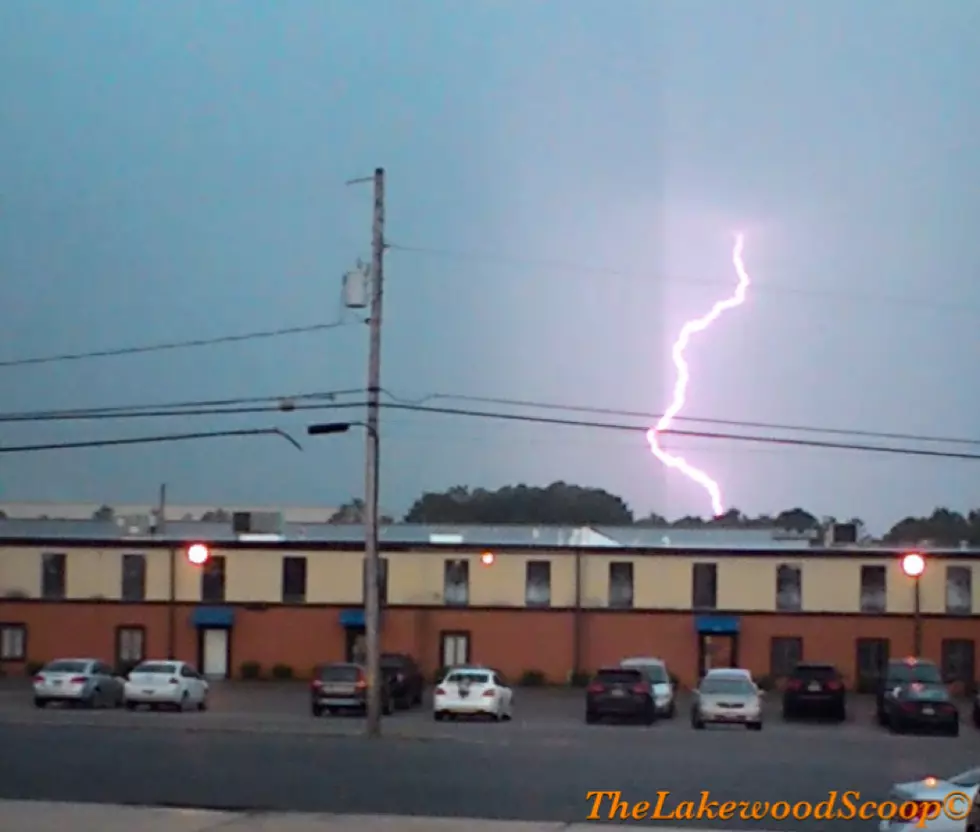
Scattered thunderstorms are expected to fire up around mid-afternoon Wednesday (about 3 p.m.) Very heavy rain will be our biggest concern. As we saw on Tuesday, if you pick up an inch or two of rain in an hour, localized flooding and ponding issues can occur quickly. Gusty winds and wicked lightning are possible from these storms too.
It looks like thunderstorm activity will exit and pulse down by about 9 p.m. Fog will likely develop again overnight.
We are looking forward to cooler, less humid conditions. But not yet! It's still going to feel sticky for most of NJ through Thursday morning. Low temperatures will mainly end up around 70 degrees. North Jersey might start to taste drier air by sunrise.
Thursday
Not as hot. And humidity levels will steadily decrease through the day. So by Thursday afternoon, I think it will be much more comfortable. High temperatures should reach about 75 to 80 degrees. That's at least 10 degrees cooler than Wednesday. And just a hair below normal for mid June.
I've struggled with this temperature forecast. And even more with the precipitation outlook. I'm still leaning hard toward a pleasant day overall, with partly sunny skies. But with moderate to high humidity levels still around for most of the day, I just can't rule out a couple of showers. Especially in the southern half of the state.
Thursday night will be quite comfortable and refreshing, with non-urban and non-coastal areas dipping into the 50s. That is also slightly below seasonal normals for this time of year.
Friday
An easterly, on-shore breeze will dominate, leading to a "blah" sort of day.
Friday will be cloudy and relatively cool. Latest model guidance limits high temperatures to about 70 degrees. Only mid 60s along the Jersey Shore. What a difference from our recent streak of 90s!
And forecast models have gone back and forth about a batch of rain clipping New Jersey Friday morning too. I think it's reasonable to expect some showers, especially to the south and west. But the general consensus forecast has trended more south and more dry recently, so I'm not convinced we'll see another soaking here.
The Weekend
Our weather largely settles down heading into the last full weekend of Spring, with more seasonable temperatures on the way.
Saturday looks good. Partly sunny and near 80. Cooler at the beaches. Both the GFS and Euro models put an isolated shower over NJ in the PM hours, but it should be a mainly dry day overall.
Sunday will progress from sun to clouds, with highs pushing into the lower 80s. (Don't worry, dew points will remain reasonable.) The best chance of rain of the weekend will come Sunday afternoon-evening. We'll be eyeing some late-day showers and thunderstorms, which could put an early end to your weekend festivities. (More details on timing, geography, intensity, and spread as it gets a little bit closer.)
The Extended Forecast
Heat will try to build again on Monday, with mid-summer-ish temperatures in the mid 80s amid rising humidity.
But a cold front will put a quick end to that warmup, keeping temperatures seasonable and weather conditions pleasant through most of next week.
I've had several folks ask whether this early June heat wave is a preview of what's to come this summer. You know I'm not a huge fan of long-range forecasting - it's flaky, and a highly uncertain science. But I will say that signs have been pointing toward generally hotter than normal temperatures for the summer season. Our next chance of widespread 90s will come along around the Summer Solstice (June 20th).
Dan Zarrow is Chief Meteorologist for Townsquare Media New Jersey. Follow him on Facebook or Twitter for the latest forecast and realtime weather updates.
Strange NJ Laws You've Never Heard Of
More From 94.3 The Point


