NJ weather: Very cold again, coastal storm near-miss Friday night
The Bottom Line
For the third time this January, arctic air has invaded New Jersey. Temperatures across almost all of New Jersey will be stuck below freezing until sometime Sunday, about 60 hours away. Unseasonably cold temperatures are here to stay through the end of the month, with very limited exceptions.
Of course, cold air is dry air. And this big dome of cold, dry air shifts any dominant storm track far away from NJ. Other than showers and flurries, there won't be anything significant falling from the sky for the next week or so (at least).
Friday
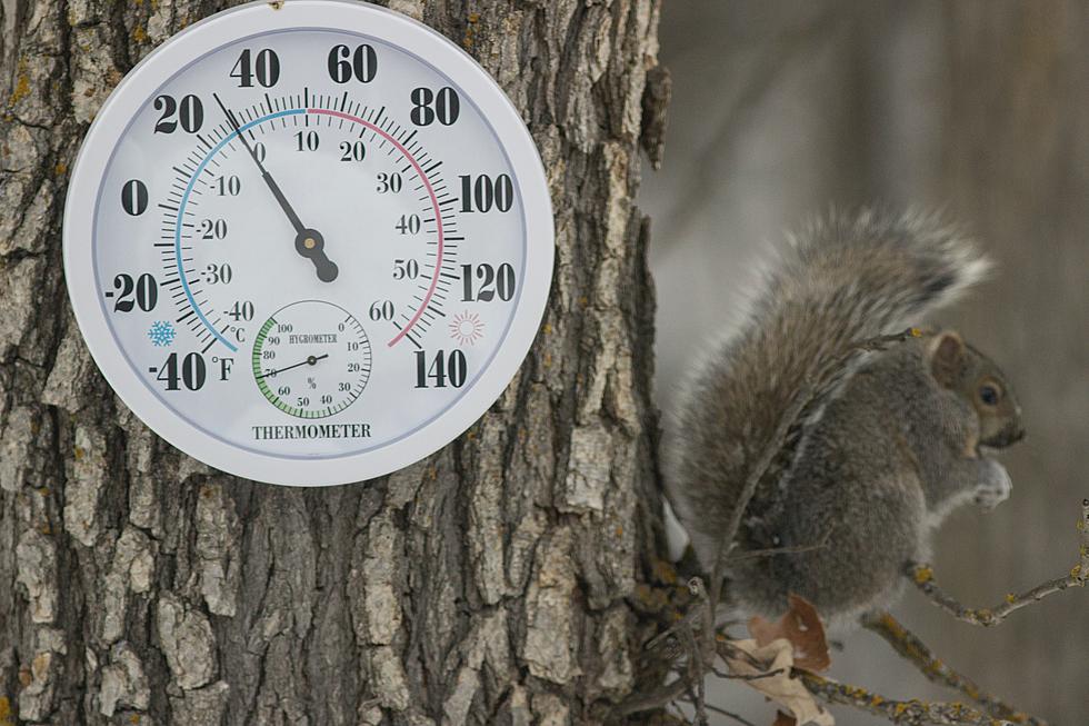
You're walking outside to temperatures primarily in the teens on this Friday morning. The wind chill (the "feels like" or "apparent" temperature) is in the single digits in most spot. Better do a bit of bundling before you open that front door.
High temperatures Friday afternoon will only reach the mid 20s. The entire state will be stuck well before freezing all day. Keep in mind, that means anything liquid on Thursday will have frozen solid overnight. Watch for slippery spots.
Skies will be bright and sunny to the north and west Friday. We'll see some extra clouds to the south and east, but I think it'll still be partly sunny on average. (That equates to about 50 percent cloud cover.)
A coastal storm system will eject from the Carolinas late Friday, putting upwards of 6 inches of snow on the ground there. We've been watching and tracking this storm all week. And it's a close call. But all signs are pointing toward a glancing blow for New Jersey, at the most.
In other words, snow showers are possible Friday night, especially the farther south in New Jersey you go. Some guidance pushes snowflakes as far north as Interstate 195. Most keep light snow limited to Cape May County only. In any case, I expect little to no accumulation. And zero travel issues.
Otherwise, the overnight will be partly cloudy and frigid. Lows will fall into the lower teens, on average, by Saturday morning.
Saturday
With the exception of the immediate coast, we'll be stuck below freezing for yet another day. Sunny skies, but highs will only reach about 30 degrees. Beyond the early morning snow showers, it will be a dry day.
Sunday
A little better, with temperatures pushing into the mid to upper 30s by Sunday afternoon. That's still a little bit below normal for late January. But at least it's above freezing.
Look for mixed periods of sun and clouds. A weak cold front late Sunday could produce some flurries. And a reinforcing shot of cooler air to end the weekend.
Monday & Beyond
High temperatures will scale back to the lower-mid 30s on Monday. But it will be a mostly sunny and dry January day.
On Tuesday, helped by a flip to a southwest wind, temperatures should bump into the lower 40s for all but far North Jersey. Our one and only above-normal day in this forecast. Skies will be mostly cloudy.
Active weather could return sometime Tuesday, as a clipper system arrives from the southwest. Precipitation type will depend largely on timing. An afternoon start time would mean a "mainly rain" solution. But if it slides a bit later, into the colder evening hours, I could see us leaning more wintry. Maybe even some snow accumulations, especially in North Jersey. It does not look like a major winter storm at this time. And we have plenty of time to work on the finer details of that forecast.
There's probably one more opportunity for January to throw a more significant winter storm our way, around next weekend. If the right pattern sets up, temperatures are cold enough, etc.
Have a great weekend! Stay warm!
Dan Zarrow is Chief Meteorologist for Townsquare Media New Jersey. Follow him on Facebook or Twitter for the latest forecast and realtime weather updates.
9 of the nation’s most miserable cities are in New Jersey
Gallery Credit: Jeff Deminski
11 things that make a New Jersey diner a real diner
Gallery Credit: Jeff Deminski
More From 94.3 The Point