What a boring weather forecast for NJ! Sunny, breezy, cool Tuesday
Talk about a long-duration winter weather event. For a period of about 48 hours, something was falling from the sky in New Jersey. First, wintry mix. Then, rain. Finally, snow (and rain and mix too). We knew this would be a very complicated winter storm going in, and it did not disappoint.
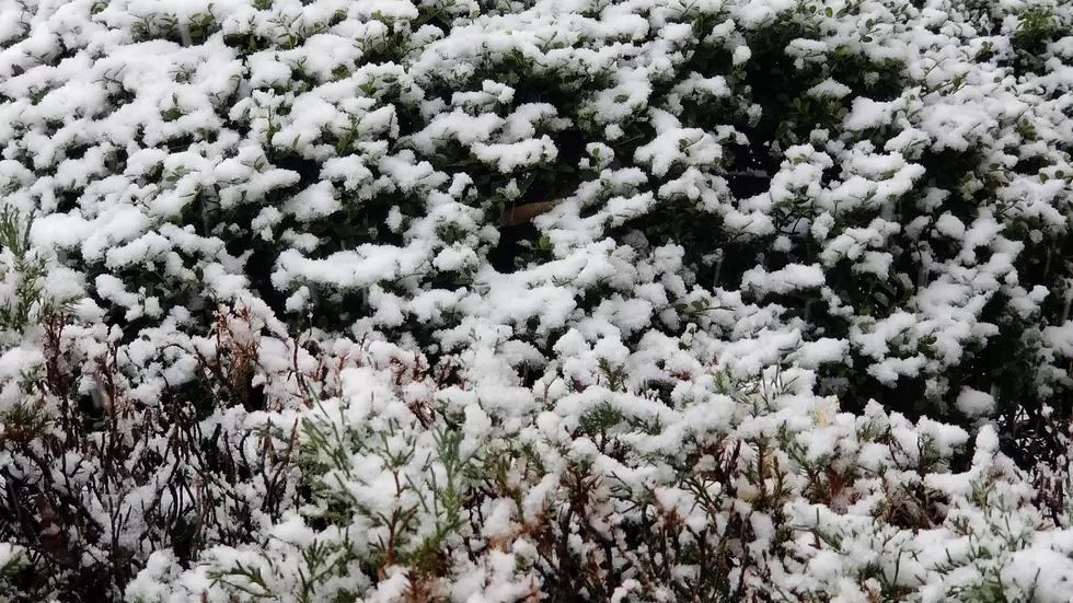
Snowfall totals ranged from zero (South Jersey) to 10+ inches (Sussex County), with a very sharp cutoff running through the middle of the state. I'm the first to recognize and acknowledge that our forecast was far from perfect. For a good part of the state, our expected totals were right on. But for others — particularly the western edge of NJ from Warren to Gloucester — this storm was a big bust. Dry air and above-freezing temperatures were the big killers, in addition to a last-minute shift in the axis of heaviest snow. I always feel like I'm competing against Mother Nature when forecasting a winter storm — I think we'll just this contest a draw.
As of this writing Tuesday morning (6 a.m.), it's still snowing. We are on the very back edge of this storm system. And radar is still picking up some light snow and wintry mix working through NJ's coastal counties. That will be out of here by 7 or 8 a.m. Until then, there will be some slippery or slushy spots from the wintry weather on Monday and overnight. You might want to give yourself a few extra minutes to clean off your car and/or take it slow on your drive to work/school.
As that powerful storm system departs, skies will quickly clear to sunshine Tuesday morning. Let the snow melt begin! It's going to be a breezy and cool day. High temperatures will range from the upper 30s (in North Jersey, where there's significant snow cover) to the mid 40s (in South Jersey, where the ground is bare).
There are no major storm systems on the horizon, although a few little atmospheric impulses will bring New Jersey some occasionally unsettled weather.
Clouds will return Tuesday evening. And models show a few snow showers diving out of the Great Lakes Tuesday night into early Wednesday morning. You might encounter some reduced visibility during snowfall ("the warp drive effect" as snowflakes fly toward your headlights. But no more than a coating of accumulation is expected.
I have to keep a few showers in the forecast throughout Wednesday too. Depending on exact timing, we're primarily looking at snowflakes for North Jersey and raindrops through the rest of the state. Again, no significant travel impacts. Skies will be mostly cloudy, with high temperatures mainly in the mid 40s. (Again, cooler to the north with residual snow on the ground.)
We'll flip back to sunshine Thursday, with a stiff breeze out of the west. Highs should once again reach the mid 40s — that is slightly below seasonal normals for early December, by the way.
We might come close to 50 degrees on Friday with a more southwesterly breeze. Increasing clouds early on will precede a cold frontal passage starting Friday afternoon. That will bring a round of scattered round showers, followed by breezy conditions and a cooldown.
Saturday looks pretty cold, with temperatures stuck in the 30s at best. At least it will be sunny, and that brisk wind dies down early.
Not as cold Sunday, as thermometers return to the 40s under partly sunny skies.
And we should see widespread 50s on Monday for the first time since Thanksgiving Day. It comes with our next storm system though. At the moment, that looks to bring periods of rain, rain, rain to the Garden State. Of course, at this time of year, it's always worth watching for wiggles in the storm track or temperatures to see if winter weather is a possibility. We'll be watching.
Enjoy the sunshine Tuesday!
Dan Zarrow is Chief Meteorologist for Townsquare Media New Jersey. Follow him on Facebook or Twitter for the latest forecast and realtime weather updates.
More From 94.3 The Point


