NJ weather: Quiet and cold Tuesday, watching two more storms this week
UPDATE... This article is outdated...
For the latest winter storm forecast information, please refer to my newest weather blog post.
UPDATE as of 4:30 p.m. Tuesday...
The National Weather Service issued a Winter Weather Advisory for all of non-coastal New Jersey on Wednesday morning. Spotty, light freezing rain could cause a light glaze of ice. And ice is slippery.
ORIGINAL POST from 8:01 a.m. Tuesday...
The Bottom Line
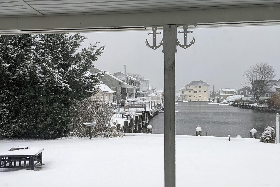
Wow, what a storm. Truly the definition of a "South Jersey Special". Total snowfall on Monday ranged from exactly zero across the entire half of New Jersey to a max of 14.0 inches at Ocean City, Cape May County.
It was South Jersey's biggest snow event in almost exactly four years. With more snow in just 12 hours than the previous two winter seasons combined.
button href="https://nj1015.com/nj-school-closings-for-snow-tuesday-jan-4-2022/" title="WINTER WEATHER ALERT: Closings, delays, and cancellations"]
Now we look ahead to Tuesday, a quiet and cold January day, with plenty of sunshine. Let the snow melt and compaction begin!
As the headline of this post suggests, there are two more storm systems looming in New Jersey's weather forecast this week. The first, Wednesday morning, will probably just kiss the coast with spotty rain showers. The second, Friday morning, could be more impactful and more... wintry.
Tuesday
You'll probably want to reach for the heavier winter coat Tuesday morning, because it is cold out there. As of this writing (7 a.m.), temperatures are averaging teens across New Jersey — one of the coldest mornings of the season so far. Any little breeze really bites, with the wind chill in the single digits for most.
High temperatures today are forecast to reach the mid 30s. Just above freezing, at least. The air is very dry, helping to keep skies sunny for most of the day. And it will be dry and calm.
One issue on Tuesday will be one more round of coastal flooding. A Coastal Flood Advisory has been issued for the entire Jersey Shore, calling for an extra foot of water and widespread minor flooding of tidal waterways at high tide Tuesday morning-midday.
Clouds will start to increase Tuesday afternoon and especially Tuesday night.
Temperatures Tuesday evening will be rather unusual. We'll dip into the upper 20s or so by Midnight. And then, with an influx of warmer air from the southeast, thermometers will probably rise through early Wednesday. (Especially along the coast.)
Wednesday (Storm System #1)
The overnight warmup is an important factor in the impacts of next storm system, expected to clip New Jersey from Wednesday morning through midday. The best chance for spotty rain showers in that time frame will be along the Shore.
Now, if those showers drift inland a bit early Wednesday morning, there could be some icy mix. And maybe even some slippery spots. But I still expect limited to be minimal to minor.
The rest of Wednesday will be mostly cloudy and a bit warmer. Look for highs in the mid to upper 40s. Maybe even 50-ish along the coast.
Again, another day of solid snow melt in South Jersey.
Thursday
Quiet, dry, and seasonable. We'll see a mix of sun and clouds, light winds, and high temperatures in the lower 40s.
Friday (Storm System #2)
January is, on average, New Jersey's second snowiest month of the year. So it's not surprising that we have another chance of accumulating snow to talk about.
72 hours out, there are still a variety of scenarios being played out among our forecast models. Ranging from a few snow showers to a minor snow event with 1-3" (Euro) to a more impactful winter storm with a widespread 3-6" (GFS).
I'll say three things about the storm for now:
1.) It looks like a fast-moving, compact storm system.
2.) Our air mass will almost certainly be conducive to an all-snow or mostly-snow event.
3.) Exact totals will be strongly affected by the exact track (and speed) of the storm.
I am not ready to put definitive details on this forecast yet. If the storm is coming together and continues to look like a snow-maker for NJ, we should be able to talk specific timeline and totals by Wednesday morning.
The Extended Forecast
What happens over the weekend will largely hinge on how Friday's storm system plays out. For now, I'm seeing sunshine and 30s on Saturday and 40s with increasing clouds on Sunday. A slow-moving cold front could drive in some rain/mix precipitation from Sunday into Monday.
Dan Zarrow is Chief Meteorologist for Townsquare Media New Jersey. Follow him on Facebook or Twitter for the latest forecast and realtime weather updates.
New Jersey's new congressional districts for the 2020s
New Jersey's smallest towns by population
More From 94.3 The Point


