
Extended arctic blast will keep NJ very cold through New Year’s
The Garden State hasn't been this cold for this long in decades.
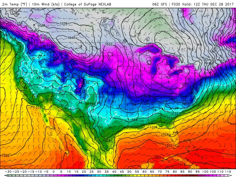
Here are your weather headlines for Wednesday, December 27, 2017...
The Bottom Line
This is a painful forecast. Arctic air is here to stay for at least the next week and a half, requiring some serious bundling up.
You can check the NJ Weather Center for actual forecast numbers and details. In general, forecast high temperatures will be in the 20s for the foreseeable future — potentially through the first weekend of 2018.
"Dangerous" Cold
People accuse me of hype and absurdity when I refer to "dangerous" cold — but it is not a phrase I use lightly.
I often refer to the "wind chill" as the "feels like temperature," but it's really just part of the definition. More importantly, the wind chill is a reflection of heat loss — how the combination of cold and wind will physically affect animals (and arguably plants too). When the wind chill drops below 0°, frostbite and hypothermia can settle in very quickly. That's why it's dangerous.
We'll be right on the precipice of dangerous cold Wednesday night through Thursday morning. As thermometers sink to about 10 degrees, the wind chill is likely to drop below zero with any little breeze. It is important to not become complacent. Please take this frigid weather seriously — bundle up tightly, warm up your car, and do not leave pets outside.
Climatology
It's not just about how cold it will get, but also how long this cold snap will last.
Our current forecast calls for 10 consecutive days (starting Tuesday) of below-freezing temperatures. In other words, we're facing (at least) 10 days in a row with a daily high temperature below 32 degrees.
The last time such a stretch of subfreezing weather happened? At Newark, January 1982 (12 days in a row). At New Brunswick, December 1989 (10 days in a row). At Atlantic City, February 1979 (11 days in a row).
The record stretch of consecutive subfreezing days at Newark is 16 days, set in January-February 1961.
So yes, without resorting to hyperbole or dramatics, I think it's fair to say this will be one of the coldest stretches of weather New Jersey has experienced in decades! Brrr.
Any Snow?
Obviously, with such cold weather firmly in place, we have to watch for any threat of winter weather.
Some of my meteorological colleagues have been promoting the idea that "it's too cold to snow". I've gotten a ton of questions, suggesting that many New Jerseyans don't quite understand why. Yes, significant snowfall is more difficult because very cold air is very dry air, but it's absolutely possible for snow to happen in extreme cold. What's more important is that the arctic high driving this cold snap will push the storm track out to sea. That's why this is not a very cold and snowy forecast.
Having said that, our forecast does include a chance for snowflakes as we head into the final weekend of 2017. We've been monitoring a complicated duo: a clipper system (approaching from the west) and a coastal system (sliding up the Atlantic seaboard). According to the latest model data, there are two favored solutions in play:
--Snow showers on Friday, with little to no accumulation. (According to the GFS and NAM)
--Periods of light to moderate snow on Saturday, with upwards of 2 to 4 inches of accumulation. (According to the Euro)
Our usually stalwart forecast models have performed incredibly poorly so far this winter, so I have to leave all possibilities on the table for now. I'm leaning away from any substantial snowfall this weekend. But before I put that down in ink or stone, let's see how the forecast continues to evolve.
New Year's Forecast
Another blast of reinforcing cold air will arrive just in time for New Year's Eve/Day. NYE (Sunday) high temperatures will be limited to the mid 20s. If you're brave enough to venture into New York for the ball drop, I estimate the Times Square temperature at Midnight to be 13 degrees. Highs on New Year's Day will struggle to reach even the lower 20s. That's almost 20 degrees below normal for early January!
Stay warm, folks.
Dan Zarrow is Chief Meteorologist for Townsquare Media New Jersey. Follow him on Facebook or Twitter for the latest forecast and realtime weather updates.
More From 94.3 The Point


