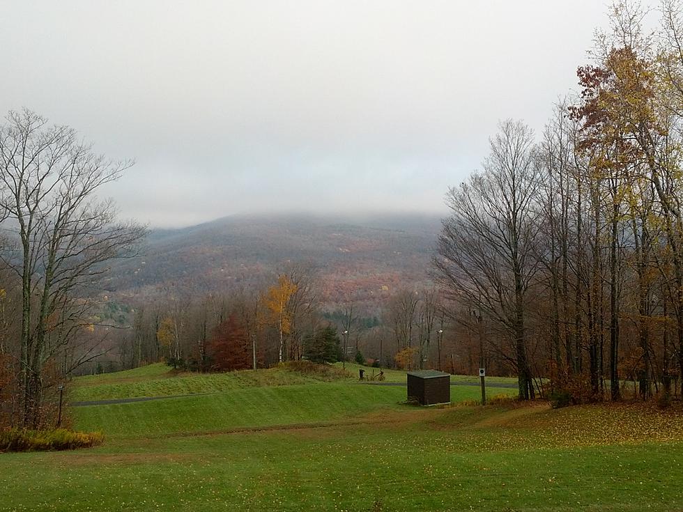
Tuesday NJ weather: Unsettled skies, but mild temperatures
The Bottom Line
Despite an unsettled sky, temperatures will generally stay above-normal for another week or so. We'll especially feel the warmth at night, when temperatures stay about 20 degrees above seasonal normals.

Tuesday
A bit of a surprise early on this Tuesday morning, as a batch of showers has formed along the Jersey Shore. It's a symptom of rising humidity and thickening cloud cover. And it's only a morning thing — models show sporadic raindrops will be possible along the eastern edge of New Jersey until about 10 a.m. Some patchy fog has developed too.
Tuesday will turn into a reasonably nice day, especially with mild high temperatures in the lower 70s. Skies will remain mostly cloudy, and the afternoon hours should be dry.
Fog is almost a guarantee once again Tuesday night. It's not going to be that cool, with lows only dipping into the lower 60s by Wednesday morning. That would be more typical of Labor Day than late October.
Wednesday
Lots of clouds, and probably a few sprinkles around. But again, any dreariness will be countered by temperatures in the lower to mid 70s. Hopefully we'll see some late-day clearing too.
Thursday
I am leaning heavily on the GFS and Euro models here, and still thinking Thursday will be the warmest and therefore nicest day of the week. (More accurately, I'm throwing the unreasonably cool NAM out the window.) High temperatures between 75 to 80 degrees, with partly to mostly sunny skies? It's optimistic, but fantastic.
A "backdoor" cold front will arrive late Thursday — so named because it moves east-to-west, rather than the traditional westerly direction here in the mid-latitudes.
Friday
The main impact of that backdoor front will be an on-shore breeze (east-southeast at 10 to 20 mph), in addition to an increase in cloud cover. Therefore, highs on Friday will scale back to about 65 to 70 degrees. Cooler than Thursday — but still warmer than normal.
Saturday
As long as winds flip back a southwesterly direction as expected, we should enjoy a great start to the weekend. Partly sunny and 70 to 75 on Saturday.
The Extended Forecast
The pleasant, warm weather is not going to last forever, unfortunately. A strong cold front is currently forecast to arrive late Saturday into Sunday. That will bring our next chance of substantial, widespread rain. It will kick up a brisk wind. And it will knock back temperatures — highs on Sunday will range from the mid 50s (north) to mid 60s (south).
Temperatures should recover through the first half of next week. However, long-range models are showing the next cold front down the road to be a doozy. Arriving next Wednesday or Thursday (10/28-10/29), a burst of rain and wind will be followed by a surge of much colder air. The final days of October and the beginning of November will be much more seasonable, with daily frosts and freezes a distinct possibility.
Dan Zarrow is Chief Meteorologist for Townsquare Media New Jersey. Follow him on Facebook or Twitter for the latest forecast and realtime weather updates.
Liz Jeressi's 5 Outdoor Restaurant Picks This Week
More From 94.3 The Point


